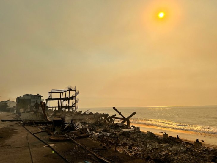
A storm turning out to be weaker than had been expected headed for the Southland Friday, still threatening to unleash mud and debris down slopes denuded by wildfires, but only if thunderstorms develop, according to the National Weather Service.
A flash flood watch expected to be allowed to expire later this morning went into effect at 3 a.m. in recent burn areas of Los Angeles County — in the San Gabriel and Santa Monica mountains and the San Fernando, Santa Clarita, San Gabriel and Antelope valleys.
The only reason for issuing the flash flood watch is that there remains a “small chance” of thunderstorms, NWS meteorologist Dave Bruno said in a telephone interview from his monitoring station in Oxnard.
In Glendora, city officials raised the alert level for residents living below the Colby Fire burn area, although a Facebook posting by the city said that “based upon forecasts, we do not anticipate any significant problems. … The storm will be much stronger up north but will weaken as it hits LA County.” Bruno said he concurred with that assessment.
The yellow alert status in Glendora requires residents to remove vehicles, trash bins and other obstructions from streets to ensure emergency access to the area and prevent damage from possible flooding. City officials said the rain will primarily result in slick roads, and there could be some debris on streets.
NWS forecasters had said they expected the storm, which originated in the northern Pacific, to weaken as it slides into Ventura and Los Angeles counties after it drenches the Central Coast.
“But it’s weakening even more than we thought,” Bruno said.
The storm could produce 4 inches of rainfall in the Central Coast but is now forecast to generate only between a quarter-inch and a half-inch in Los Angeles County — not up to an inch, as was the case Thursday — though an inch of rain remains a possibility in the mountains, Bruno said. The lion’s share of the rainfall is expected in L.A. County between 6 a.m. and noon.
Forecasters stressed the need for motorists to display caution in rainy weather.
“Remember, never attempt to drive through a flooded roadway,” urged an NWS statement. “Turn around. Don’t drown.”
This week’s storms — one passed through the region Sunday and Monday — are generating the first of the fall rains in Southern California. Amid moderate temperatures, the snow level will remain at a high 10,000 feet, forecasters said.
The NWS forecast showers in L.A. County Friday — a slight retreat from Thursday, when Friday’s forecast had been for rain — and highs of 67 on Mount Wilson; 71 at LAX and in Saugus; 72 in Avalon, Palmdale and Lancaster; 73 in San Gabriel and Burbank; 74 in downtown L.A.; 75 in Long Beach and Pasadena; and 76 in Woodland Hills.
Showers are in L.A. County’s forecast through Sunday. Highs will range between the mid 60s and low 70s over the next several days.
The NWS forecast showers in Orange County Friday and highs of 71 in Newport Beach and San Clemente; 73 in Laguna Beach; 75 in Anaheim and Yorba Linda; and 76 in Fullerton, Irvine and Mission Viejo. Beyond Friday, no precipitation is in Orange County’s forecast over the next several days, and highs will be in the mid 60s to low 70s.


