the Southland today and could generate thunderstorms, lightning, hail,
waterspouts, furious winds and snowfall, along with perilous driving conditions
in the San Gabriel Mountains.
A cold storm out of British Columbia brought rain to
the Southland today and could generate thunderstorms, lightning, hail, waterspouts, furious winds and snowfall, along with perilous driving conditions in the San Gabriel Mountains, the National Weather Service said.
Both Los Angeles and Ventura counties were expected to experience
scattered showers as a result of the cold, upper-level low-pressure system that slid into the region Thursday night. Rain — light in most communities but heavy in Fullerton — was reported this morning.
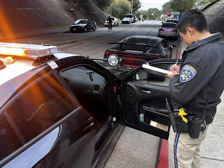
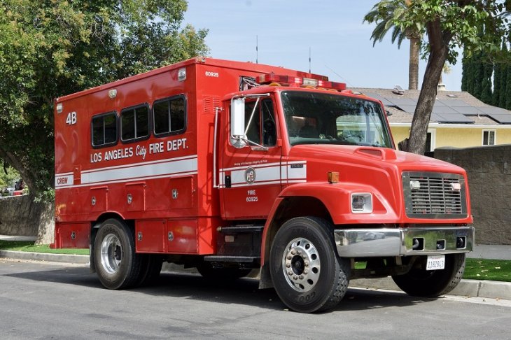
Between 2 a.m. and 6 a.m., there were 53 crashes in Los Angeles County in the California Highway Patrol’s jurisdiction, compared with 12 in the same time frame a week ago, when it did not rain, the CHP reported.
About 4 a.m., a big rig hauling gravel crashed on the eastbound Foothill (210) Freeway west of Irwindale Avenue in Irwindale. The non-injury crash closed the eastbound lanes for a time, and also closed the transition road from the San Gabriel River (605) Freeway to the eastbound 210 Freeway while crews worked to fix a guardrail. It was unclear if intermittent rains in the area
overnight caused the crash, a CHP officer said.
The National Weather Service warned in a statement that any thunderstorm developing in the region today “will be capable of producing brief, heavy rain, small hail, gusty winds and dangerous cloud-to-ground lightning.
“In addition, conditions will be favorable for the formation of isolated waterspouts over the coastal waters,” the NWS said.
Rainfall amounts will vary considerably given the showery nature of this system, and some areas may experience no precipitation, according to the statement. Between a 10th and a third-of-an-inch of rain are expected along the coast and in the valleys and between a quarter-inch and a half-inch in the
mountains, the statement said.
However, if thunderstorms strike, high amounts of rain may result in certain areas amid heavy downpours, and minor mud and debris flows could occur in burn areas, according to the NWS.
The snow level in the San Gabriels was at 5,000 feet this morning but expected to rise to 5,500-6,000 feet later in the day, the NWS reported. By tonight, between two and four inches of snow may have come down.
South-to-west winds gusting at up to 40 miles per hour blew across the mountains overnight, and 25-mph winds were expected during daytime hours, according to the NWS.
“Any snowfall combined with gusty winds will create hazardous wintry driving conditions through Friday with snow-covered roads and poor visibility especially above 5,000 feet,” the NWS statement said.
“Anyone planning to travel to the local mountains tonight or Friday should prepare for unseasonably cold winter and wintry driving conditions.”
Today’s temperatures were expected to be in the 60s amid showers and cloudy skies.
The NWA forecast a combination of showers and mostly cloudy skies today and highs of 47 on Mount Wilson; 59 in Saugus; 61 in Palmdale, Lancaster, San Clemente and San Gabriel; 63 at LAX, in Pasadena, Burbank, Laguna Beach and Mission Viejo; 64 in Newport Beach and Irvine; 65 in Woodland Hills, Avalon and Yorba Linda, Fullerton and Anaheim; and 66 in Long Beach and downtown L.A.
Saturday’s temperatures will be the same as today’s or marginally higher, but under partly cloudy skies, with the sun expected to make an appearance as the day wears on. There is no rain in Saturday’s forecasts at this point.