Landslide More Serious than 1940s Slide, Involves Thousands of Rocks
Caltrans District 7 has updated the situation related to the closure of Topanga Canyon after this year’s heavy rainfall and the area’s latest and most serious landslide. In a press statement, The California Department of Transportation (Caltrans) projects that the extensive landslide at post mile 1.8 on State Route 27 in Topanga Canyon will be cleared by fall 2024, pending favorable conditions.
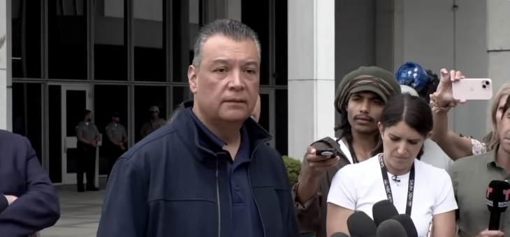
California State Transportation Secretary Toks Omishakin visited Topanga Canyon with Assemblymember Jacqui Irwin and Los Angeles County Supervisor Lindsey Horvath to examine the landslide’s severity. You can watch a video of the visit and listen to the explanation of the seriousness of the landslide, which includes thousands of rocks, here.
The latest observations indicate ongoing water seepage beneath the dirt, mud, and rocks, suggesting the potential for further movement of the mass. Recent rainfall during the weekend of April 13-14 exacerbated the instability of the hillside.
The landslide, which occurred on March 9, 2024, is substantially larger than a previous one in the 1940s. The visible face of the current landslide extends approximately 300 feet above the roadway and continues about 200 feet beyond the surrounding brush.
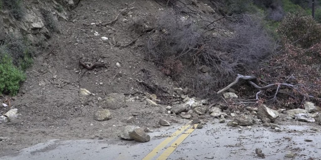
Given the present geological conditions and the slope’s instability, the removal process must proceed from the top downward. Removing material from the base of the slope is necessary to prevent the destabilization of the earth and large boulders above as water continues to permeate beneath the surface.
Of particular concern is a sizable boulder, approximately 10 feet in height, visible from the south side of the landslide. A crack measuring 5 to 10 feet wide has formed behind the boulder, with the weight of the hillside exerting pressure on it.
Preliminary estimates indicate that the visible face of the landslide comprises about 80,000 cubic yards and weighs approximately 9.2 million pounds, equivalent to the capacity of 5,500 dump trucks.
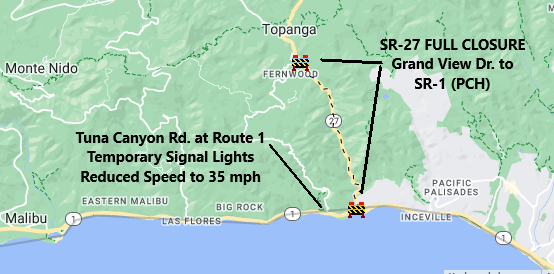
As a result of the closure, State Route 27 is inaccessible from Grand View Drive to State Route 1 (Pacific Coast Highway). During the closure, temporary signal lights have been installed at Tuna Canyon Road and State Route 1 to facilitate traffic flow for Topanga Canyon residents seeking access to the southbound Pacific Coast Highway.
Caltrans is collaborating with local authorities and elected officials to minimize the landslide’s impact on the community. Members of the public can direct inquiries to Topanga@dot.ca.gov.


