Residents Near Wildfire Burn Scars Face Heightened Debris Flow Risks
The National Weather Service of Los Angeles issued flood advisories on Sunday afternoon which state, “There is a risk of higher rain rates caused by convective showers or thunderstorms within the area circled in yellow, thru Monday morning. We have several Flood Advisories in effect in the area this evening. Use caution driving and never drive through flooded roads.”
Residents near recent burn areas from the Palisades, Hurst, Kenneth, and Sunset fires face a heightened risk of debris flows and water runoff, potentially carrying hazardous substances. CalTrans District 7 has issued closures for the following roads as of Sunday evening:
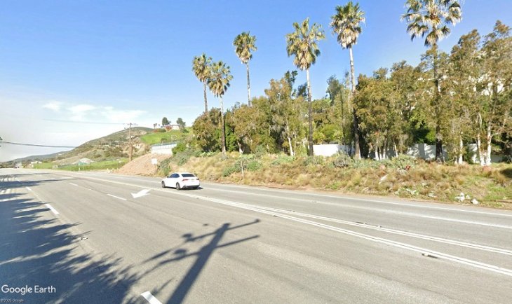
State Route 1 (Pacific Coast Highway/PCH)
- Southbound PCH closed at Sweetwater Canyon Drive.
- Northbound PCH closed at McClure Tunnel.
- Additional hard closure immediately west of Topanga Canyon Boulevard due to mudflows.
Interstate 10 (1-10)
- Westbound I-10 closed at Lincoln Boulevard.
- Westbound I-10 4th and 5th Street on-ramps closed.
State Route 27 (Topanga Canyon Blvd.)
- Fully closed in both directions between PCH and Grand View Drive.
- Closed, except for residents with ID, south of Mulholland Drive to Grand View Drive

Here’s what you can do to prepare:
- Property Preparation: While major debris flows are unlikely, residents are encouraged to prepare their properties now.
- Sandbags: Pick up free sandbags at local fire stations. For locations, visit LA Emergency Management.
- Palisades Fire Evacuation Assistance: Private property owners under evacuation orders can call Los Angeles County Public Works at 800-675-4357 for 24/7 engineering support and property assessments. A homeowner’s preparation guide is available here.
- Emergency Alerts: Sign up for text, email, and phone call alerts through Notify LA. Ensure alerts are updated for new addresses if you have recently relocated.
- Community Outreach: Check on neighbors to ensure they are informed and prepared for storm conditions.
Council District City Council member Traci Park noted some of the preparations the city workers are undertaking in advance of the flood watch in an email, “Workers have identified areas at higher risk for water and debris flow and are installing sandbags and hundreds of feet of K-rails to help mitigate in these areas and protect life, safety, and property during the next 48 hours. Crews have also inspected and removed debris from many gutters, storm drains and catch basins, I’ve been on the ground at the Zuma Command Post and in the burn area with our City crews to observe the temporary emergency measures that are being implemented to protect life, safety and property during the next 48 hours.”
Storm Safety Measures
- Avoid Burn Scars: Stay away from areas with water runoff or debris basins near wildfire burn scars.
- Drive Safely: Roads may be slick during the first storm of the season. Allow extra travel time.
- Report Issues: Call 911 for life-threatening emergencies and 311 to report downed trees, blocked storm drains, or localized flooding.


