A period of “elevated fire danger” will threaten Southern California from tonight through early next week — the product of high heat, low humidity and Santa Ana winds spawned by an upper level ridge of high pressure, forecasters said.
The heat wave forecast by the National Weather Service will cover a large swath of the region, including the mountains, forests and valleys from Los Angeles County all the way north through San Luis Obispo County.
The high pressure developing over the West Coast today today will bring “a significant warming and drying trend to Southwest California through early next week,” according to an NWS statement. “In addition, weak to moderate offshore winds are expected to develop over the Los Angeles and Ventura county mountains and valleys Wednesday into Thursday and persist into Friday.”
Afternoon temperatures will climb into the 80s and 90s across the coastal and valley areas by Thursday and to between 90 and the low 100s by Friday, the statement said, adding that a peak in the heat is expected on Saturday with highs of around 105 degrees Fahrenheit.
During that period, overnight lows will remain high — in the mid to upper 60s in the valleys, forecasters said — while the winds will peak in strength across Los Angeles and Ventura counties Thursday morning, when gusts of up to 35 miles per hour are expected in the valleys and of 45 mph in the mountains.
Also expected by Thursday is a drying air mass across all of Southwest California, initially sending humidity levels dipping into the lower teens, then into the single digits away from the coast between Friday and Sunday, according to the NWS.
“The combination of rising temperatures, low humidity and offshore winds in combination with critically dry vegetation will bring elevated fire danger to much of southwest California late Wednesday through early next week,” warned the NWS
“The highest fire danger is expected to be across the Los Angeles and Ventura county mountains and valleys where the strongest northeast winds are likely to occur.”
During the hot spell, high temperatures will run 10 to 20 degrees above normal, NWS forecasters said. A slow cooling trend will begin in coastal areas on Sunday, they said.
In Orange and San Diego counties, a heat advisory will be in force from 11 a.m. Friday to 8 p.m. Saturday, but not right at the beach. The hottest temperatures will be from mid morning to late afternoon Friday and Saturday, forecasters said.
NWS forecasters urged residents of the region to protect themselves and their pets from heat stress and to remain well-hydrated. They recommended scheduling any arduous activities for early in the morning or the evening, wearing light, loose-fitting clothing, drinking plenty of water, and treating any sign of heat stroke as a 911 emergency.
Red flag warnings denoting a high risk of wildfire may be issued during the hot spell, according to the NWS. But none were in effect in the Southland as of early this morning.
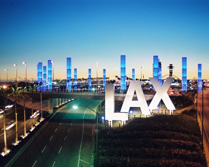
The NWS forecast sunny skies today and highs of 71 in San Clemente; 76 in Newport Beach; 77 in Laguna Beach; 78 in Avalon and at LAX; 82 in Anaheim, Mission Viejo and Irvine; 83 in Long Beach, Fullerton, Yorba Linda, and on Mount Wilson; 84 in Palmdale and Lancaster; 87 in downtown L.A.; 88 in San Gabriel; 89 in Burbank and Saugus; 91 in Pasadena; and 94 in Woodland Hills.
A sharp warming trend will get underway Thursday, reaching a peak on Saturday. Downtown L.A., for example is forecast to go from 87 today to 92 Thursday, 95 Friday, 99 Saturday, 92 Sunday, 86 Monday and 83 Tuesday. Woodland Hills, which will be the warmest community in the city of Los Angeles, is forecast to be at 94 degrees today, 97 Thursday, 104 Friday, 106 Saturday, 104 Sunday, 101 Monday and 97 Tuesday.


